Dries Buytaert
Blog Projects Photos About Search
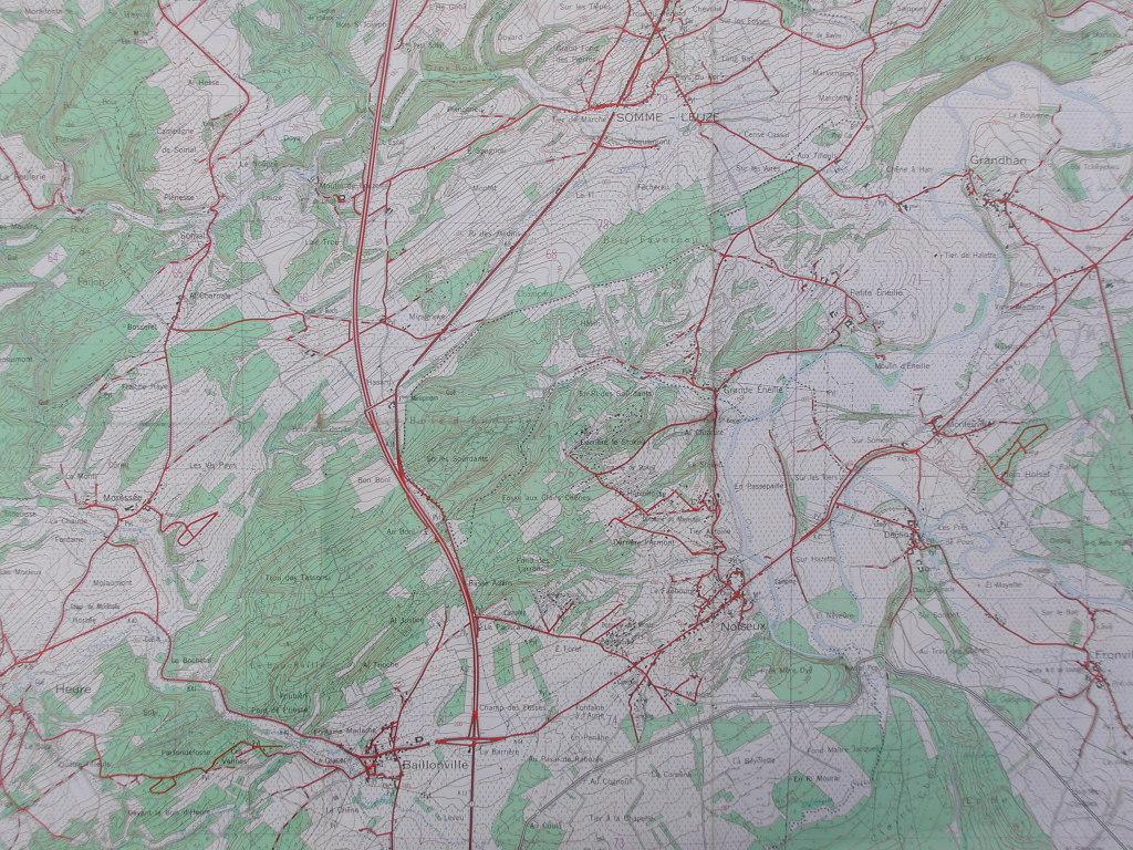
A detailed topographic map showing roads, elevation, and natural features with red lines marking routes and locations.

Heure

colophon rss · email · /sensors