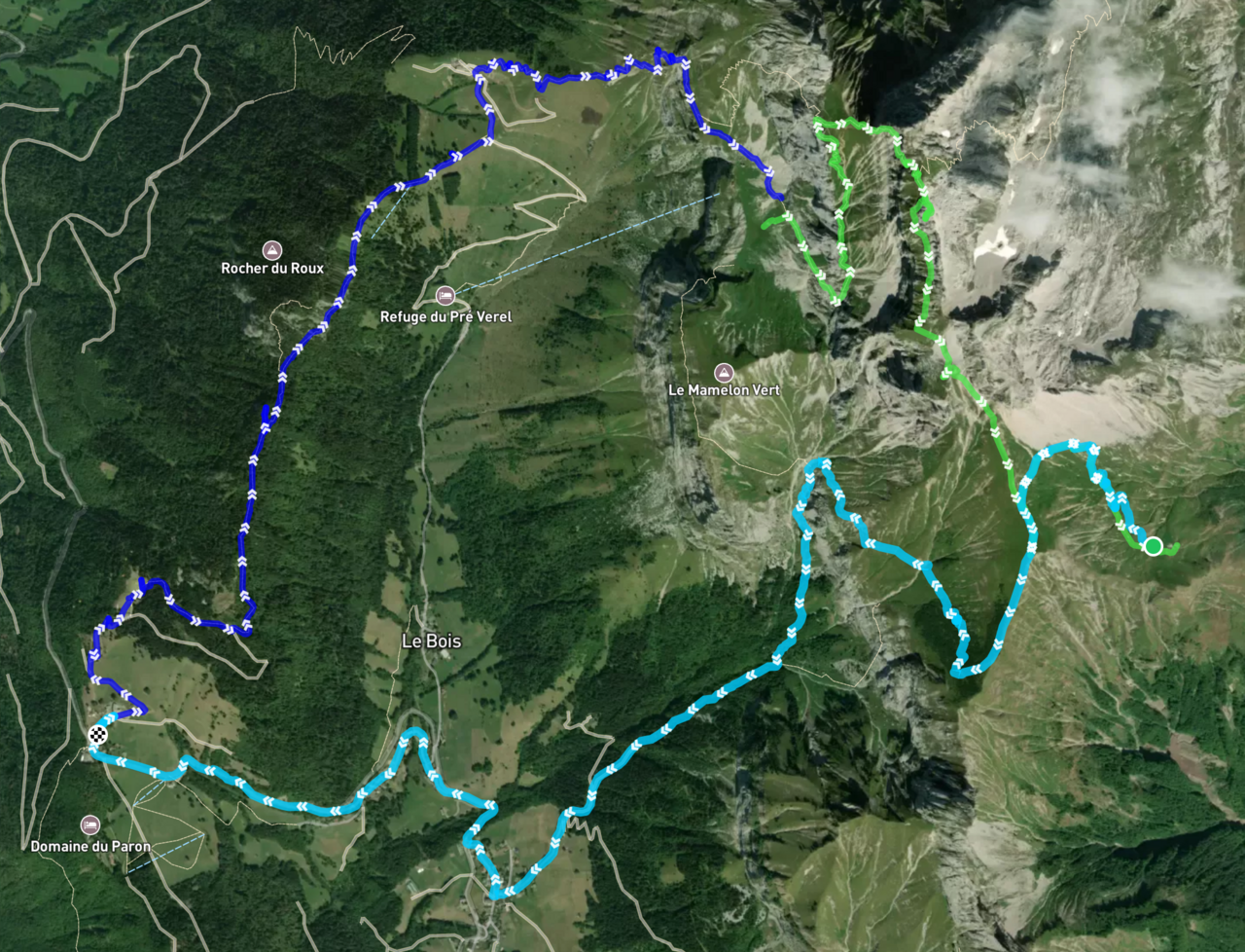
A topographical map of our hike to La Tournette, with each of the three hiking days highlighted in a different color.
Loading our packs into the plane before departure.
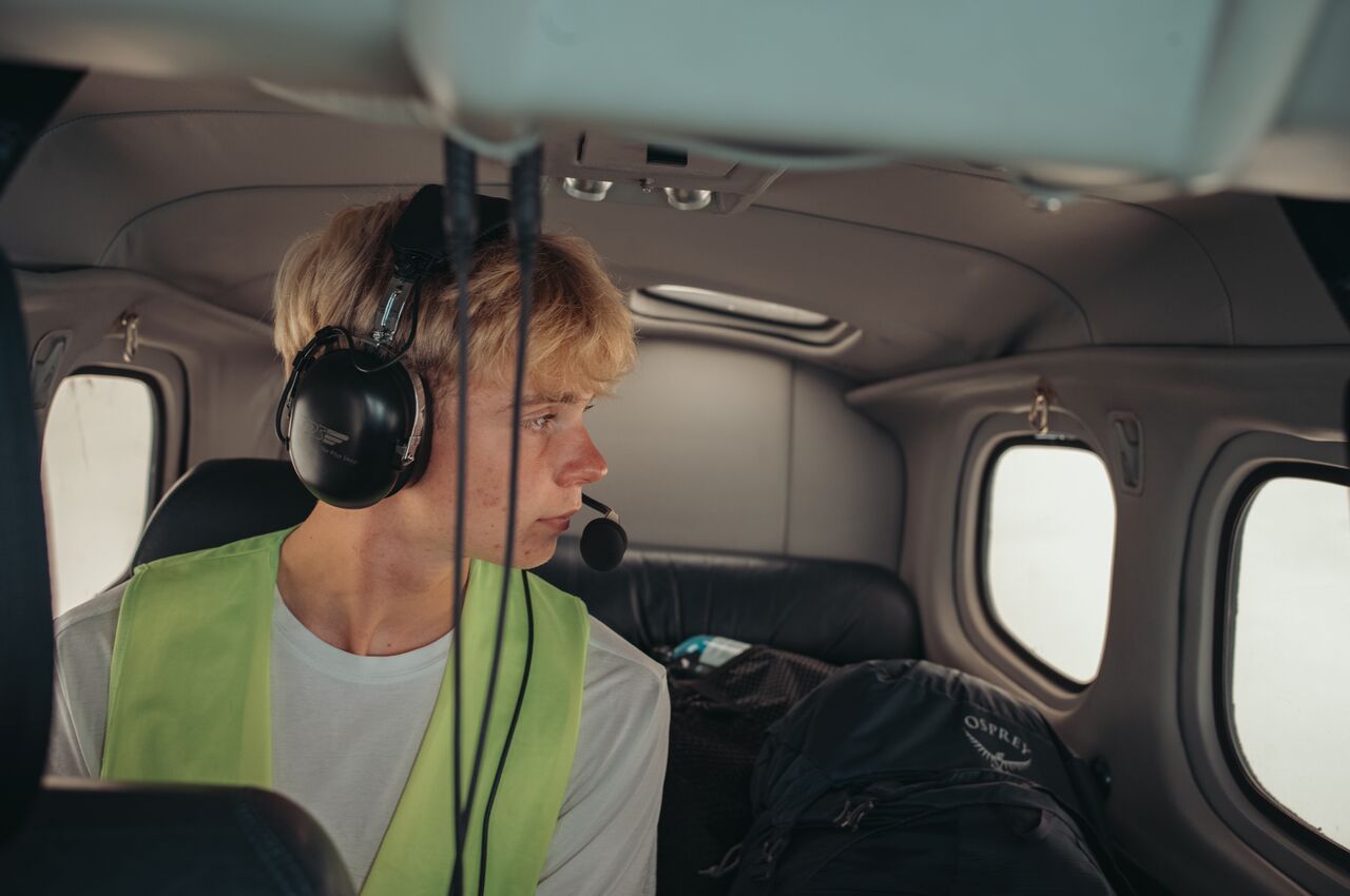
Axl watching the landscape roll by on the way to Annecy.
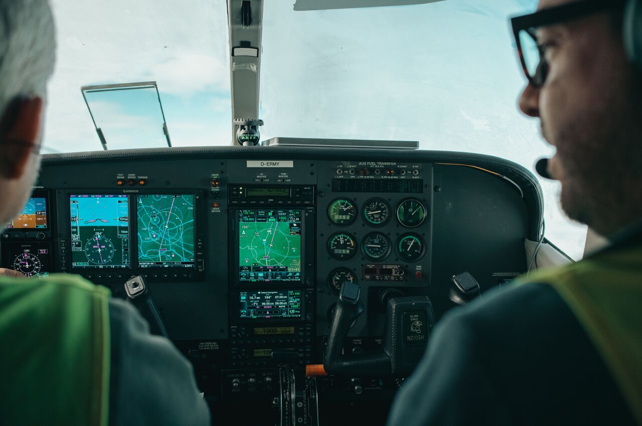
In the cockpit of Ben's Cessna en route to Annecy.
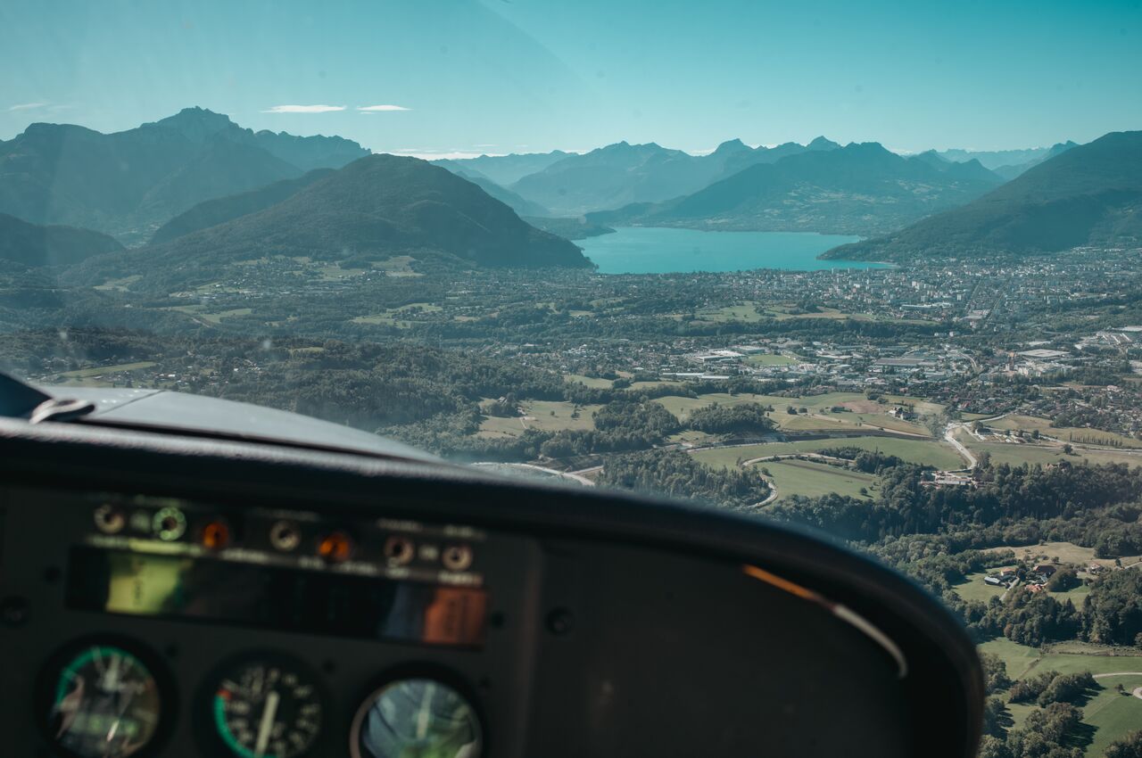
As we approached Annecy and prepared to land, La Tournette (left) rose above the other peaks, showing the climb that lay ahead.
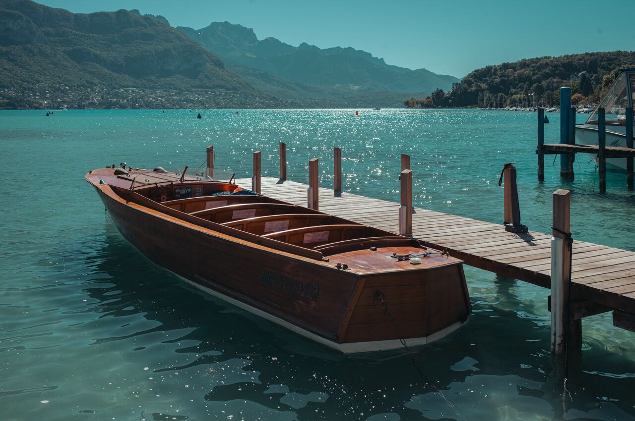
A boat docked on Lake Annecy.
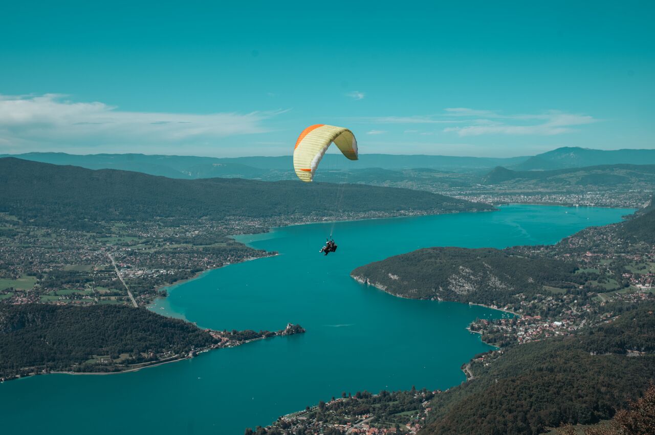
Paragliders circling above Lake Annecy.
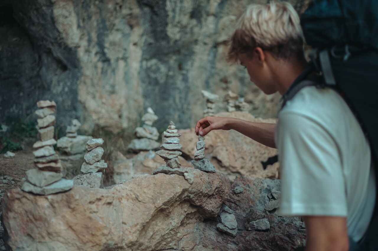
We paused to add a stone to a cairn along the trail.
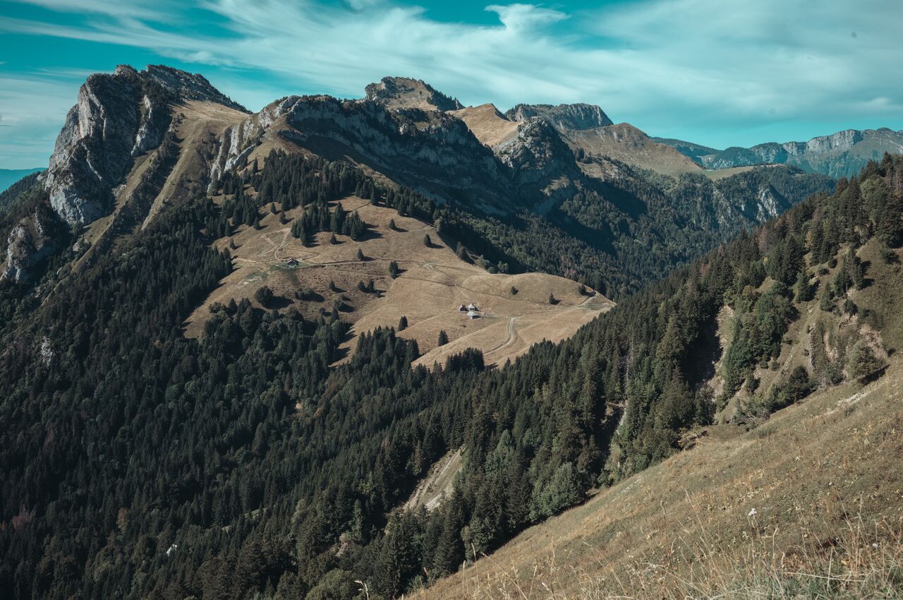
The view on our way up to La Tournette, just past Chalet de l'Aulp.
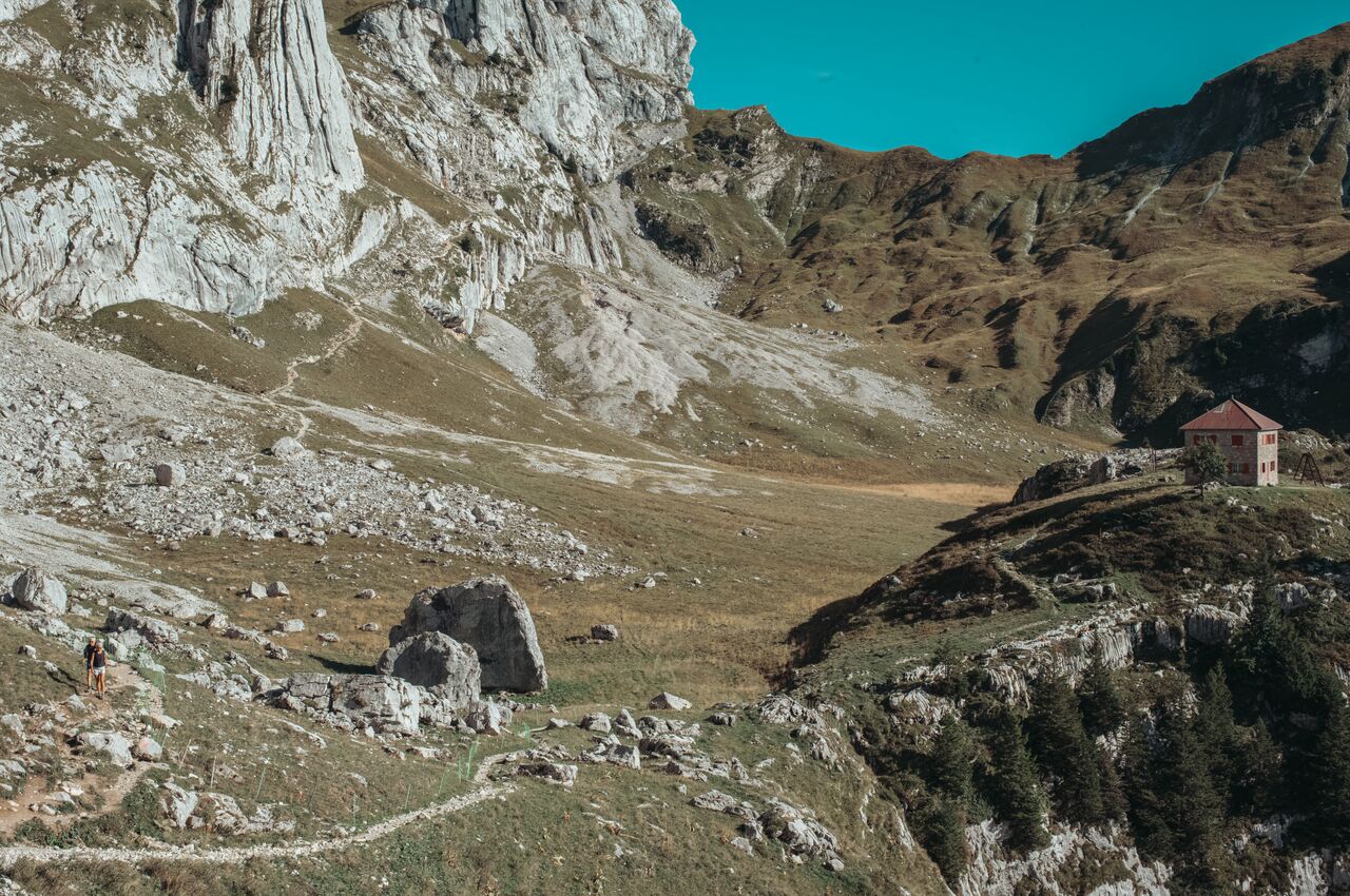
The old Refuge de la Tournette, closed since 2009, with the trail winding up through the meadows and rocks.
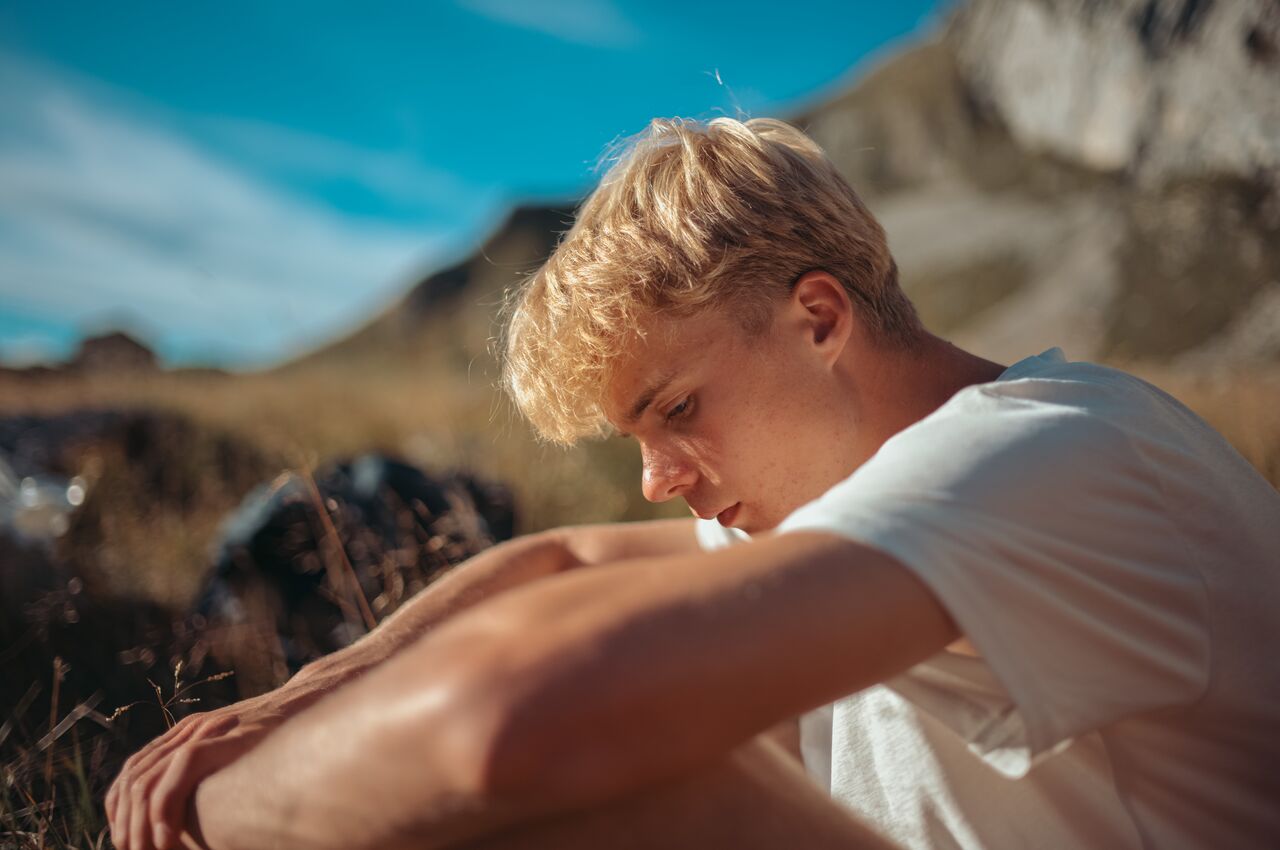
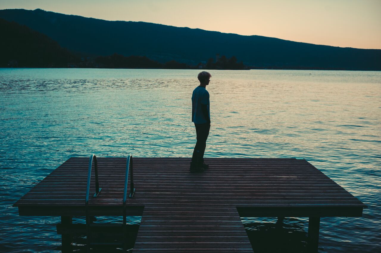
Axl reflecting at the end of our first day on the trail.
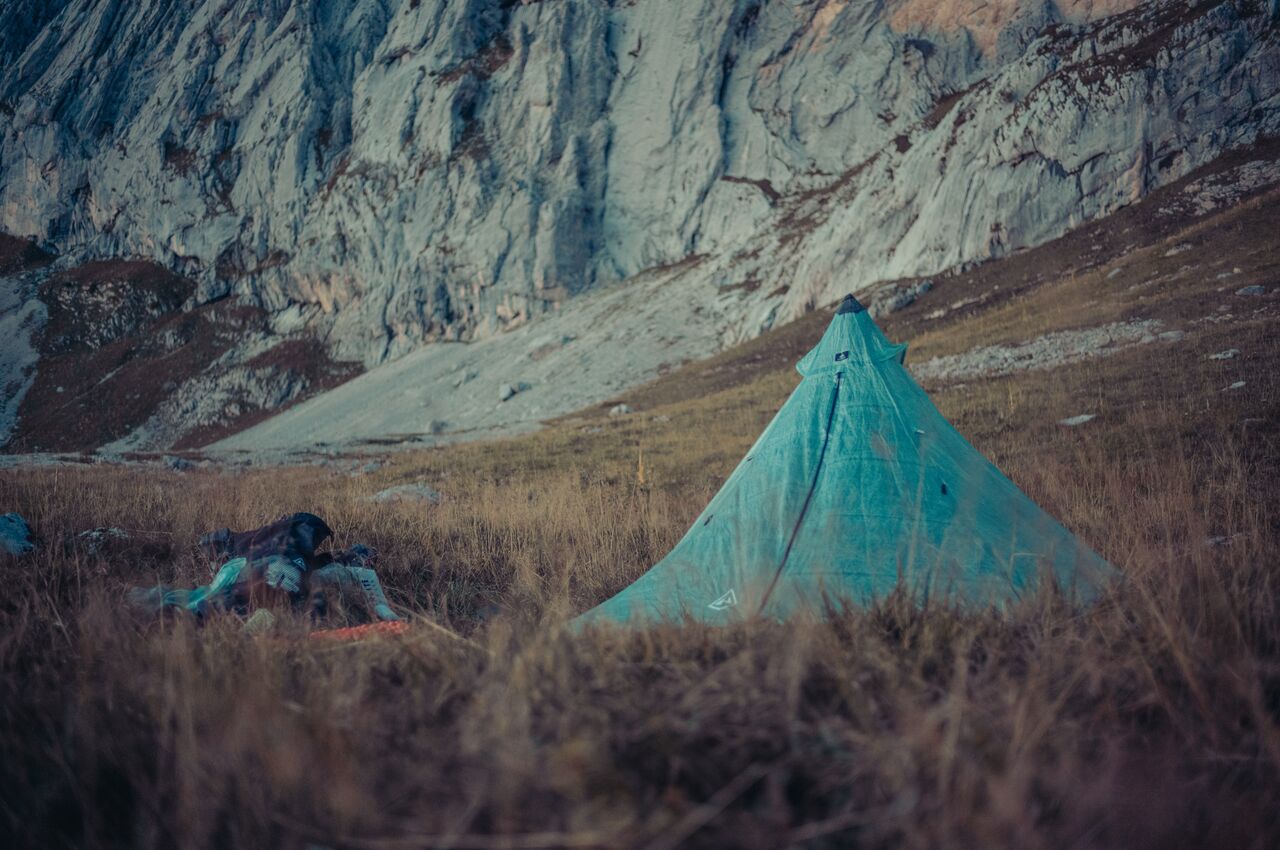
Our tent pitched in the high meadows near the old Refuge de la Tournette.
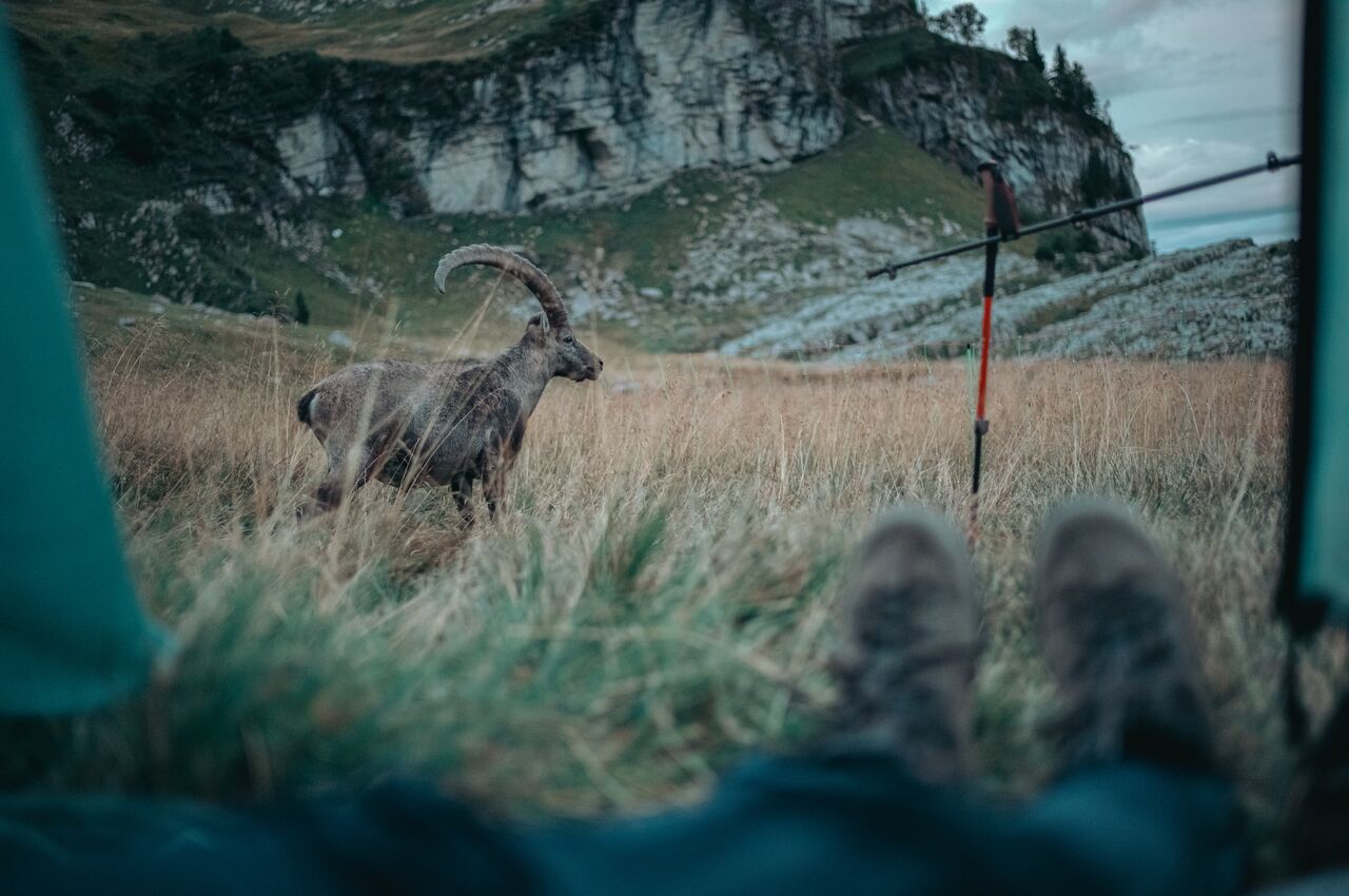
When we opened the tent in the morning, a bouquetin (ibex) was standing right outside, watching us.
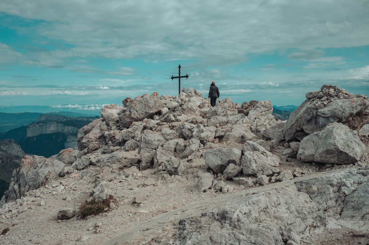
At the summit of La Tournette.
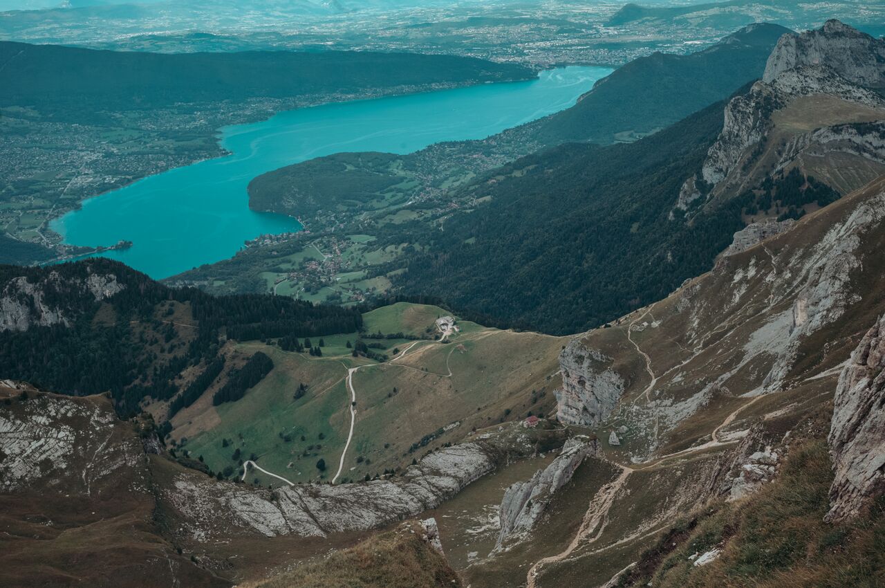
Looking down toward Lake Annecy. If you look carefully, you can see the forest above Col de la Forclaz, Chalet de l'Aulp, and the old Refuge de la Tournette along the trail.
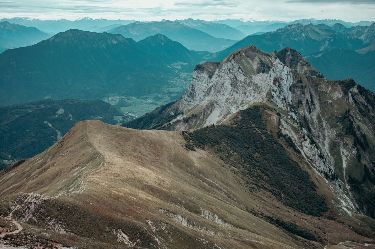
The ridge from La Tournette toward Refuge de Praz D'zeures. If you look closely, the trail winds all the way into the woods.
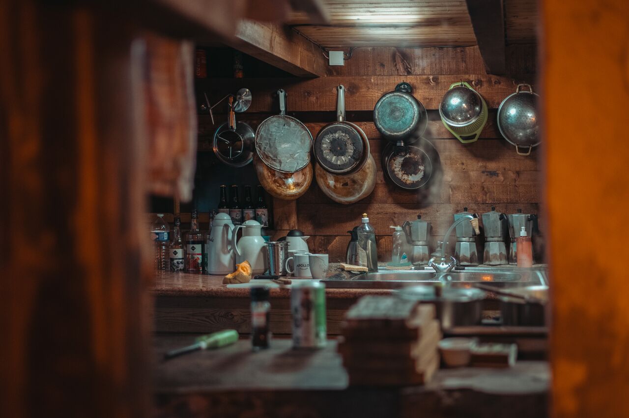
The rustic kitchen at Refuge de Praz D'zeures. I loved the moka pots and pans in the background.
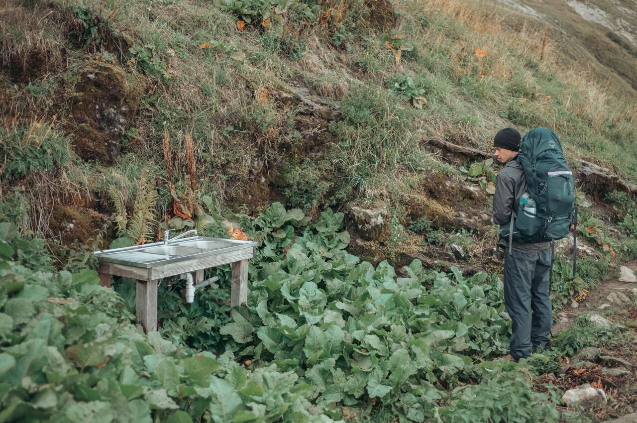
The outdoor sink at Refuge de Praz D'zeures where Axl refilled our empty water bottles.
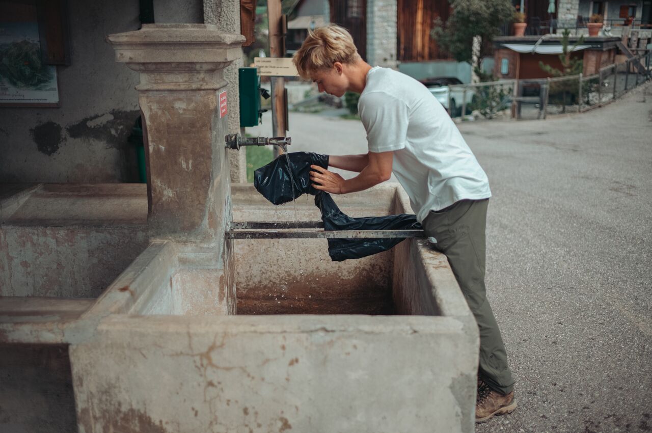
Axl rinsing the mud off his rain pants at a fountain in Montmin.
Axl plunging his head under the cool water of a stone fountain.
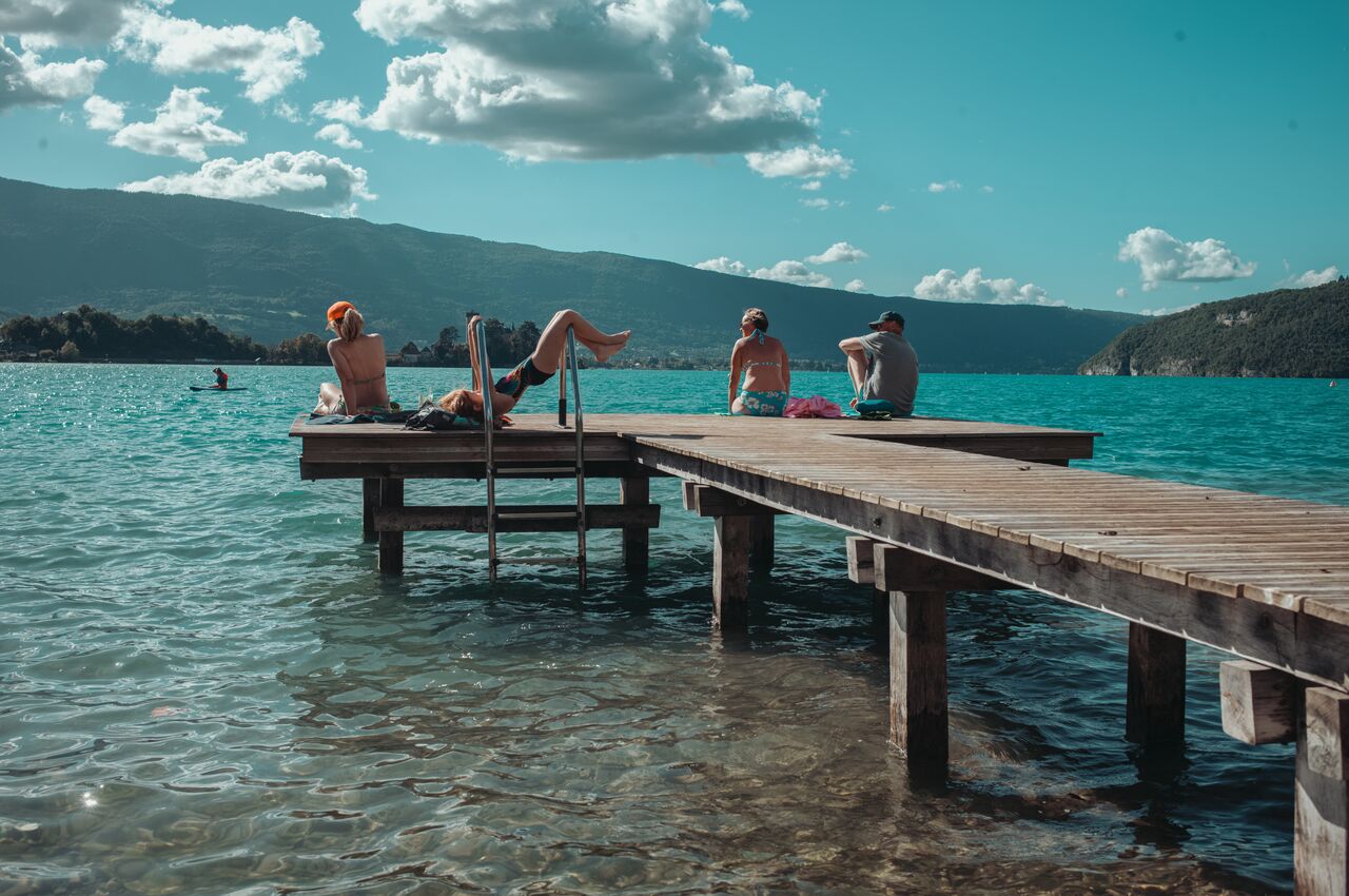
People enjoying the late summer sun on a dock at Lake Annecy.