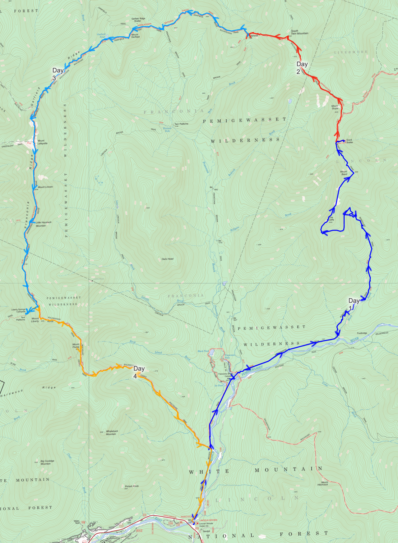
A topographical map of the Pemigewasset Loop, with each of the four hiking days highlighted in a different color.
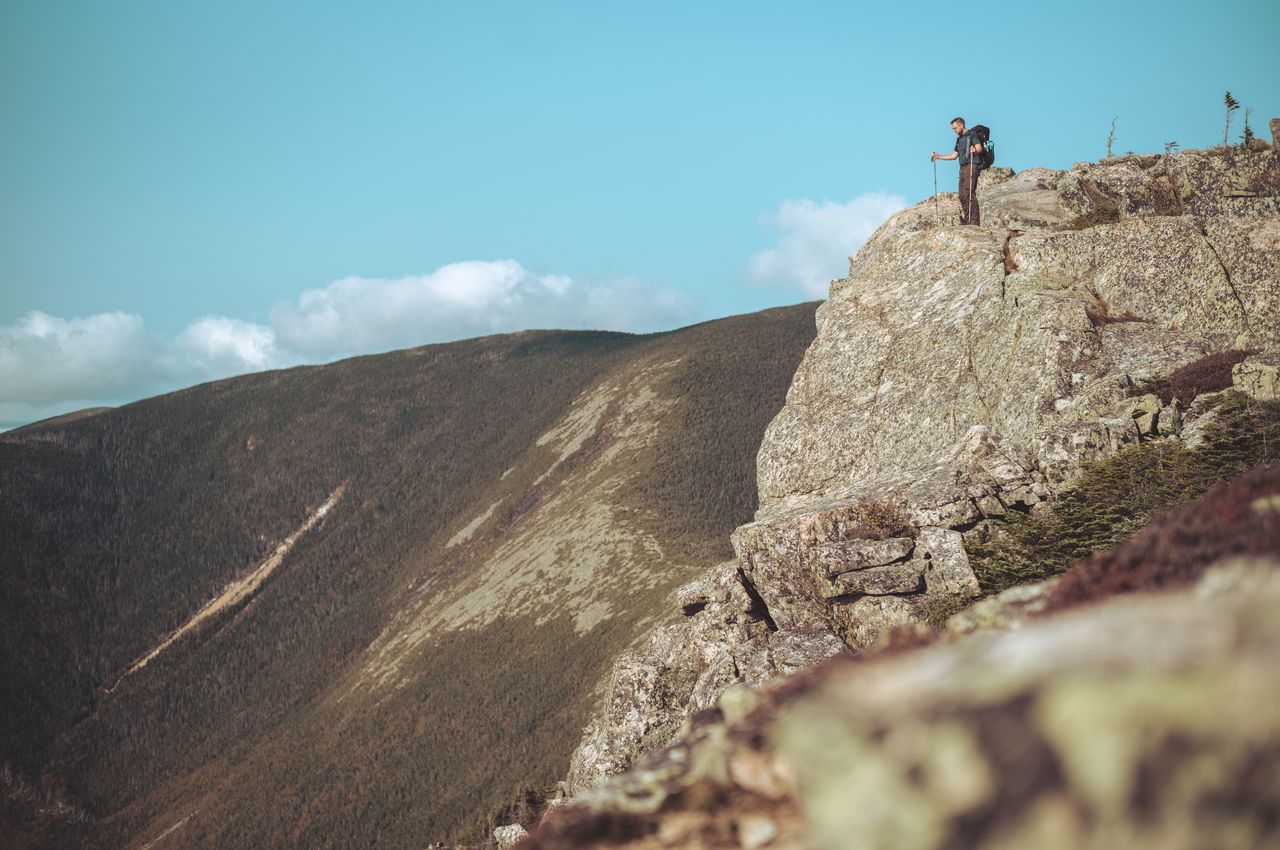
At the top of Mount Bondcliff, known for its dramatic cliffs.
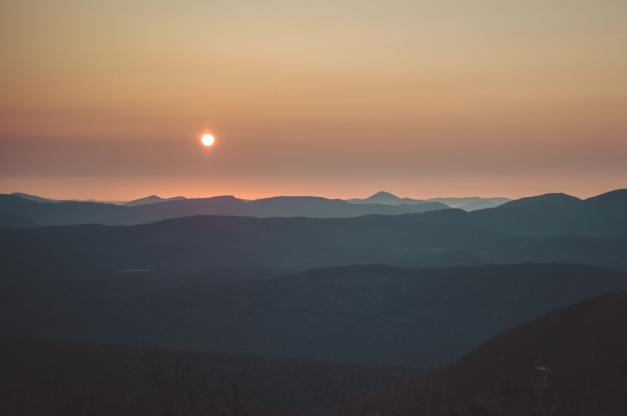
The sunrise from Guyot Tentsite.
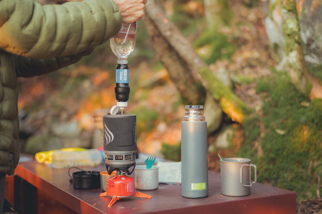
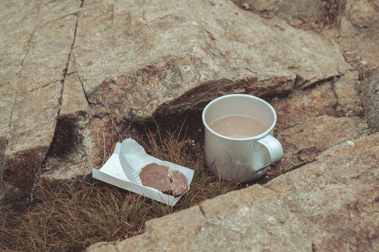
Waking up to a gourmet meal: boiled creek water meets dried delicacies!
Refilling our water bottles at Guyot Tentsite. When we changed our plans, we were not sure about Guyot Tentsite having water. Thankfully it did!
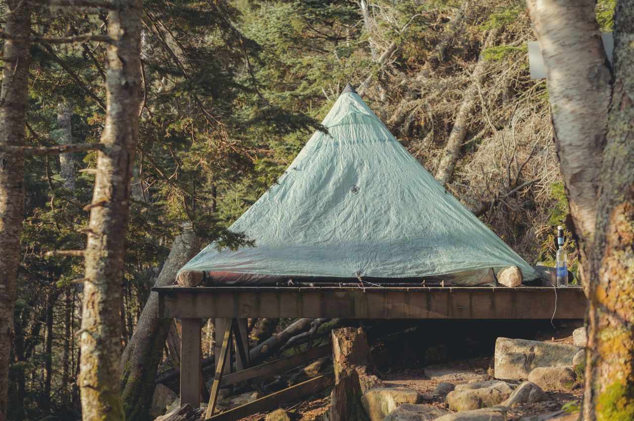
The tent platform at Guyot Tentsite. Guyot Tentsite is located in an area where the natural terrain is rocky and has a significant incline.
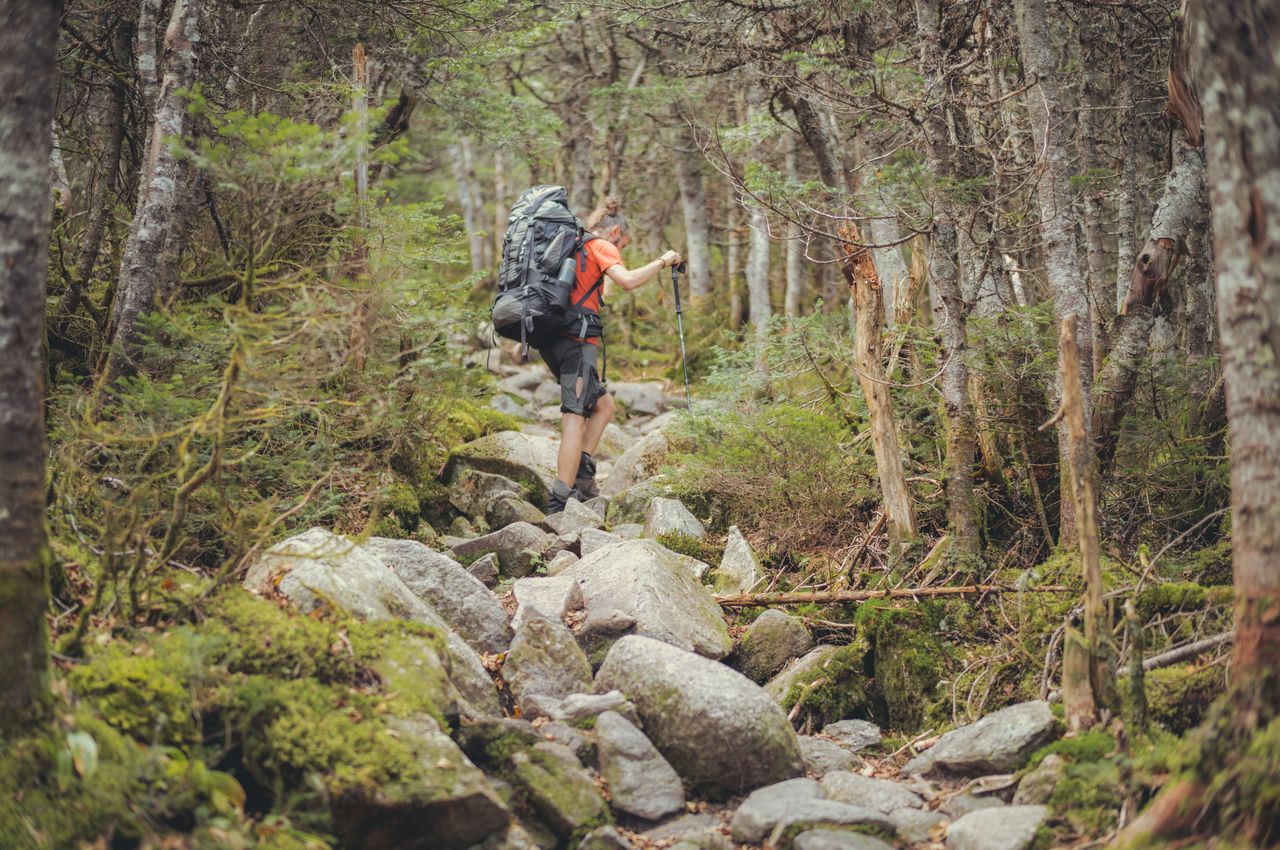
Making our way up to Garfield Ridge Trail toward Garfield Mountain. Because the trail can be steep and requires careful footing, it slowed down our pace.
Klaas and I standing on the summit of South Twin Mountain.
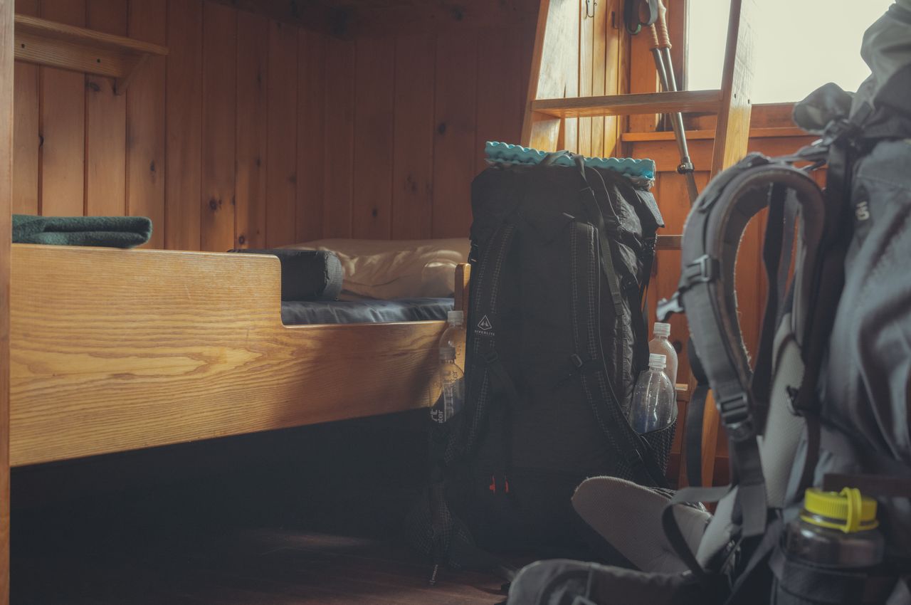
My cozy bunk at the Galehead Hut.
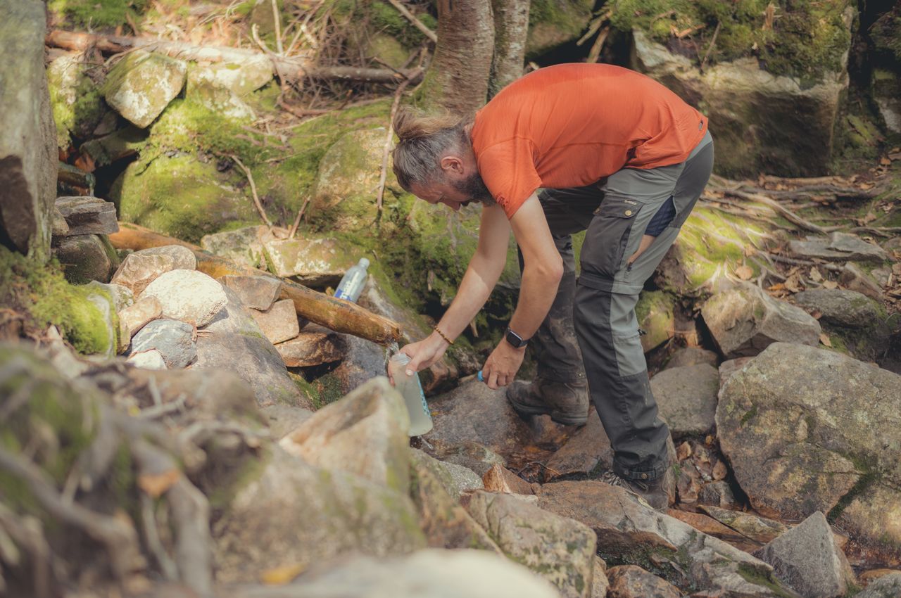
Refilling our water supplies at a stream on Garfield Ridge Trail. On many stretches, you won't find fresh water for miles, so you have to plan ahead and carry 2 or 3 liters of water (4-6 pounds).
On the edge of giving up, just half a mile shy of Mount Lafayette's peak (shown in background).
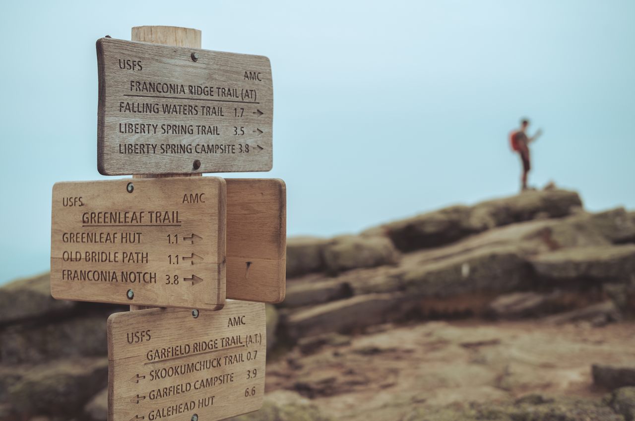
At the summit of Mount Lafayette after 6.6 miles of hiking. Just 3.8 miles to Liberty Spring Tentsite.
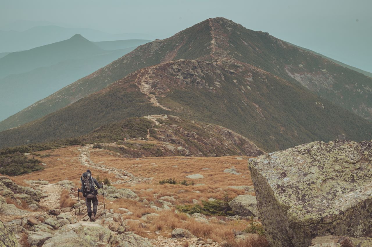
Klaas hikes from Mount Lafayette to Mount Lincoln along Franconia Ridge, with one of our next peaks looming behind Mount Lincoln.
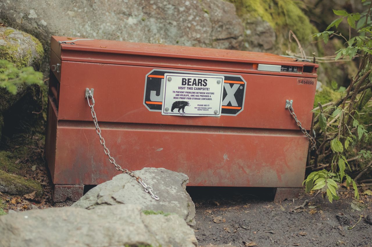
Liberty Springs Tentsite provides metal boxes for food storage to prevent bears from accessing the food. Funny enough, humans find them just as puzzling to open.
Electrolyte tablets and peanut butter cups to the rescue.