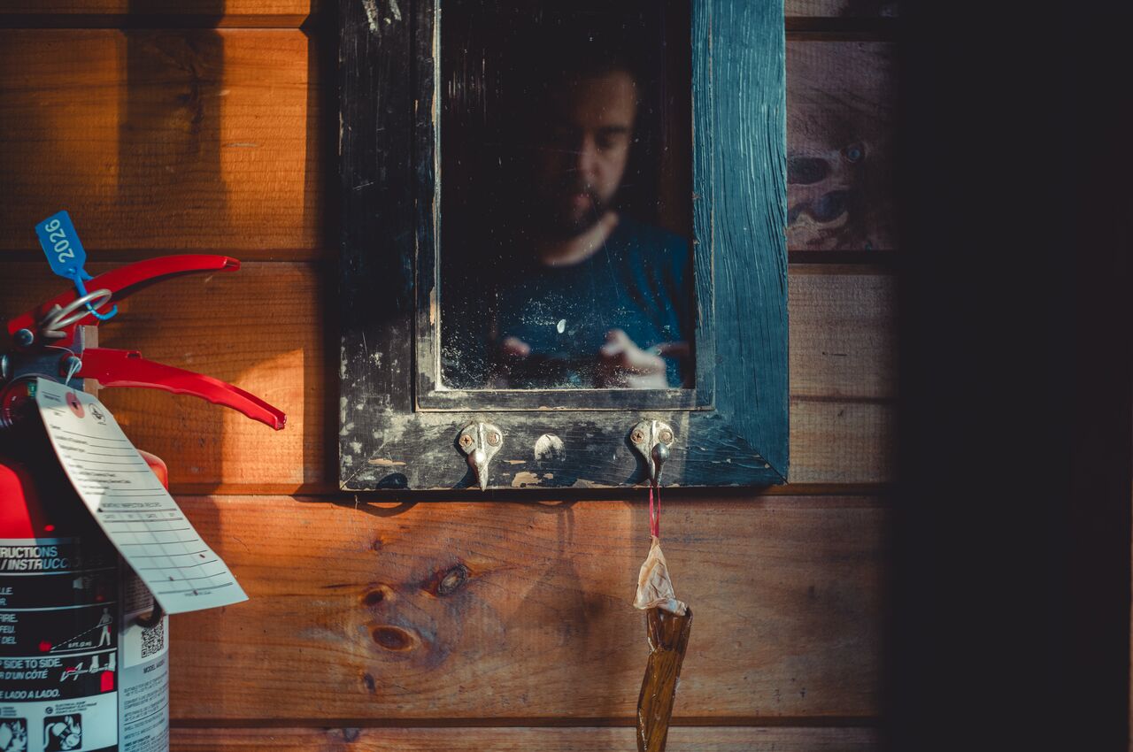
A worn mirror, an old-school fly catcher, and an early-morning selfie.
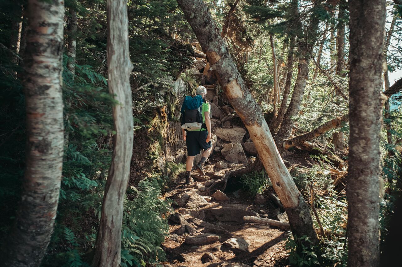
Between Mizpah Spring Hut and Mount Pierce, the trail passed through a forest straight out of a fairy tale.
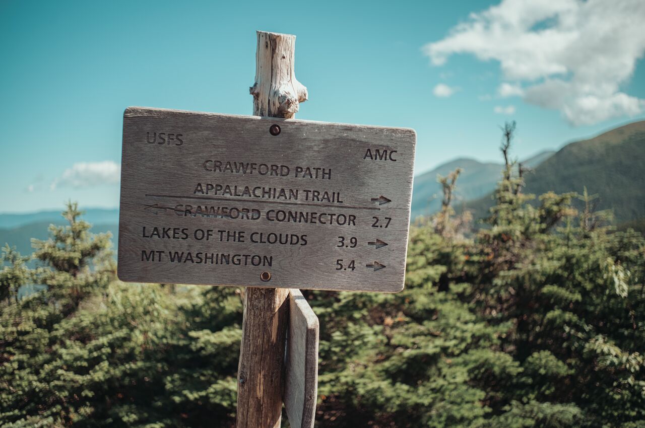
The sign put Mount Washington 5.4 miles away. What it did not say was how difficult each of those miles would be.
After hours of hiking, we reached the summit of Mount Washington, where we found a weather station, satellite dishes, and tourists who had driven up. Sharing the highest summit with people who had simply driven there felt strangely anticlimactic.
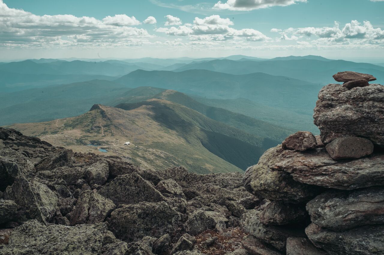
The trail down from Mount Washington is a long scramble over broken rock. The small white building below is Lakes of the Clouds Hut, tucked beneath Mount Monroe, with Mount Eisenhower and Mount Pierce in the distance.
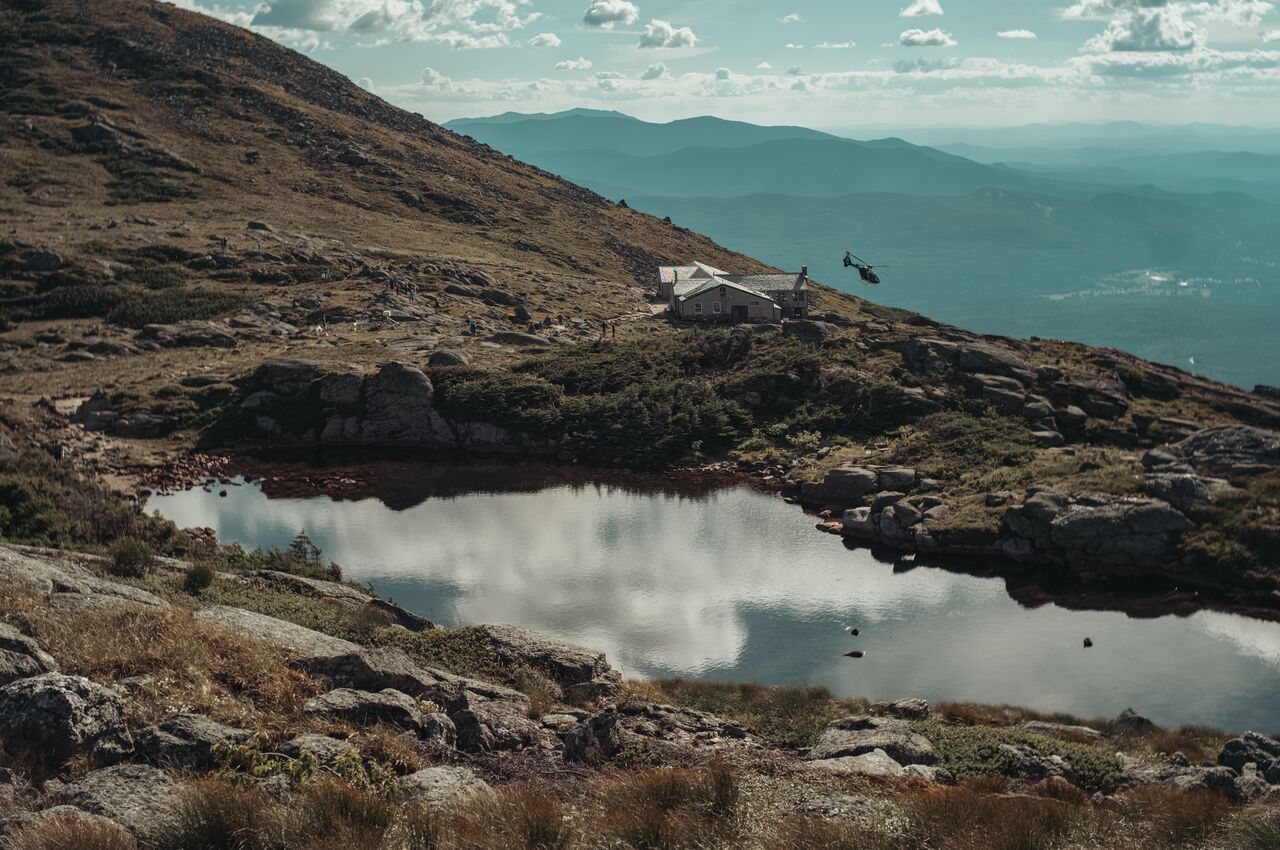
Lakes of the Clouds Hut looked peaceful from above, but the helicopter flying beside it was evacuating a hiker who had fallen ill after a difficult climb up.
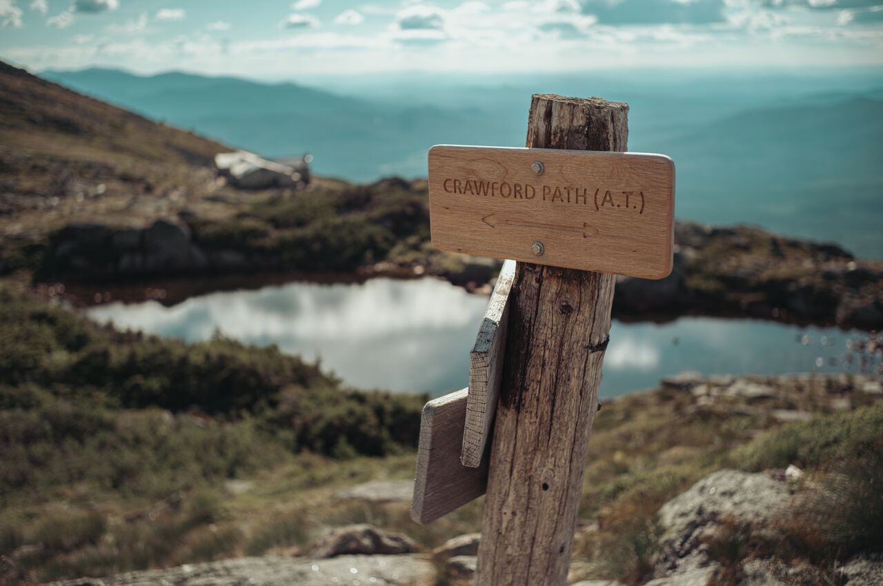
Leaving Lakes of the Clouds, we rejoined the Crawford Path, which carries the Appalachian Trail toward Mount Washington.
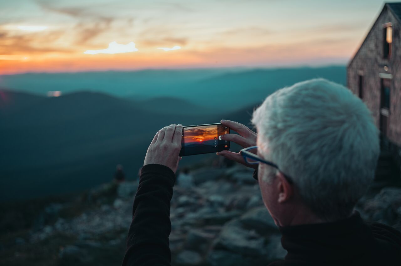
At Lakes of the Clouds Hut, sunset brought everyone outside, where they all took the same photo.
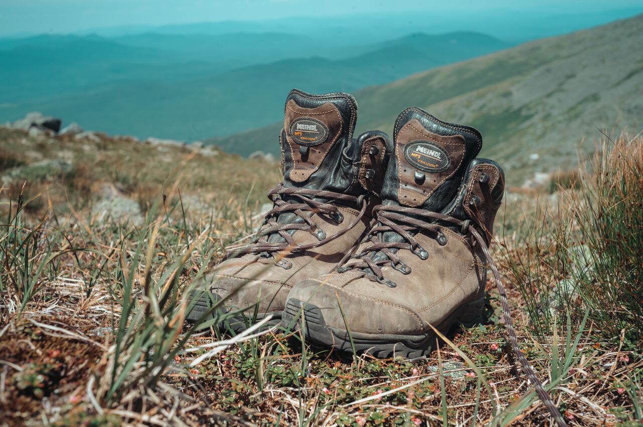
I stopped to take off my boots and treat my blisters before they got worse.