Hiking the Presidential Traverse: a hut-to-hut adventure
Lessons from a four-day hut-to-hut traverse of New Hampshire's Presidential Range.
Contents
Years ago, I wrote about hiking the Pemi Loop. To my surprise, many people still read that post. I imagine them sitting at a kitchen table with a map spread before them, trying to figure out what the hike will actually feel like.
This post is for that same reader, with a new map spread across the table: New Hampshire's Presidential Range.
My friend Chris and I just spent four days hiking through the Presidentials, a rugged chain of peaks named mostly after American presidents.
The classic Presidential Traverse covers roughly nineteen to twenty-three miles (31 to 37 kilometers) and involves about nine thousand feet (2,700 meters) of climbing, depending on the route and which summits you include.
We traveled from hut to hut rather than carrying a tent. Our four-day itinerary included two full days on the trail, with shorter days at the beginning and end so we could drive to and from the mountains.
On paper, the distance and elevation gain look manageable. The numbers didn't capture the effort. Much of our route followed the Appalachian Trail across loose rock and exposed ridgelines, where the weather can turn quickly.
The thru-hikers we met called the Presidentials one of their favorite sections and one of the hardest. A mile here can feel like two or three on an easier trail.
Unlike the Pemi Loop, this was a point-to-point hike. We traveled south to north, beginning near Crawford Notch and finishing at the Appalachia trailhead in Randolph.
Because the trailheads are about forty minutes apart by car, we left ours at the finish and arranged a ride to the start. Four days later, when we emerged from the woods and found the car waiting for us, it felt like a small miracle.
§Day 1: Up to Mizpah Spring Hut
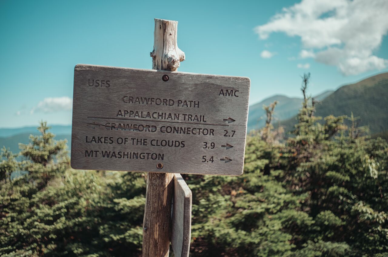
Our first day was short, which suited us because we had driven up from Boston and did not start hiking until two in the afternoon. From the parking lot, you climb and keep climbing until eventually there is a hut.
On the way up, we passed a steady stream of hikers heading down, all of them looking pleased to be traveling in that direction.
My left quad started complaining almost immediately. My pack was noticeably heavier than Chris', thanks in part to the unreasonable number of snacks I had brought.
We reached Mizpah Spring Hut a little more than two hours later. If a short afternoon hike could leave my quad complaining, the next two days were going to be much harder.
There was nothing to do about any of it but eat and sleep, and the hut is built for exactly that. The accommodations are rustic: no showers, no heat, and no electricity for guests. What you get is a bunk, cold well water, composting toilets, a pillow, and several wool blankets. Guests are encouraged to bring a sleeping bag or liner, so we did.
Dinner improved my outlook. The portions were absurdly generous, and the pulled pork was some of the best I had ever eaten, although two hours of climbing may deserve some of the credit.
After dinner we played chess, and I beat Chris three times in a row. To keep it interesting, I removed my own queen as a handicap and beat him anyway. I mention this only because he will read this post.
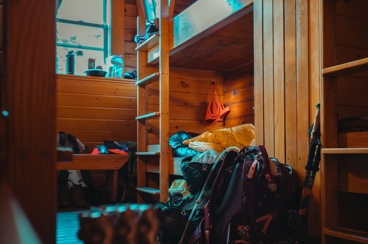
The huts pack you into bunkrooms with anywhere from six to a dozen strangers, and between Chris snoring and the general symphony of a shared room, I didn't sleep very well. The thin mattress left my shoulder and hip aching, and at one point my arm went numb. That is simply part of hut life, and it still beats sleeping in a tent.
§Day 1: Crawford Path trailhead → Mizpah Spring Hut
- Peaks: None
- Distance covered: 2.7 miles / 4.3 kilometer
- Ascent: 2,000 feet / 610 meter
- Moving time: 2 hours
§Day 2: Pierce, Eisenhower, and the roof of the Northeast
Day two took us from Mizpah Spring Hut to Lakes of the Clouds Hut, following the high ridge of the Southern Presidentials. It was our first full day on the trail and our first sustained stretch above treeline.
We climbed Mount Pierce (4,310 ft) first, then continued toward the broad dome of Mount Eisenhower (4,780 ft). As we gained elevation, the trees thinned, shrank, and finally gave way to open rock. The trail rose into the wind, with the mountains unfolding around us in every direction.
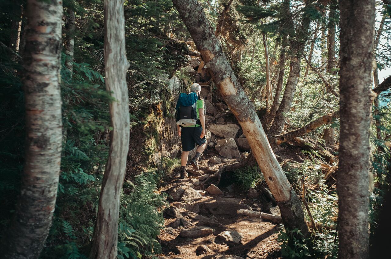
Between Eisenhower and our destination, we crossed Mount Franklin, which looks like a summit and feels like a summit but does not officially count as one.
By early afternoon, we reached Lakes of the Clouds, the highest and best-known of the Appalachian Mountain Club's huts. We dropped our packs, claimed our bunks, and set out for the summit of Mount Washington (6,288 ft). The climb added two and a half hours to an already long day, but with the summit just above us, we kept going.
Mount Washington bills itself as the home of the world's worst weather. In 1934, observers at the summit recorded a wind gust of 231 miles per hour, a world record that stood until 1996. It remains the strongest gust ever measured at a staffed weather station. People die on and around Mount Washington nearly every year, often after the weather turns faster than they expect. We, somehow, got sunshine and crystal-clear air, with views that stretched for more than a hundred miles.

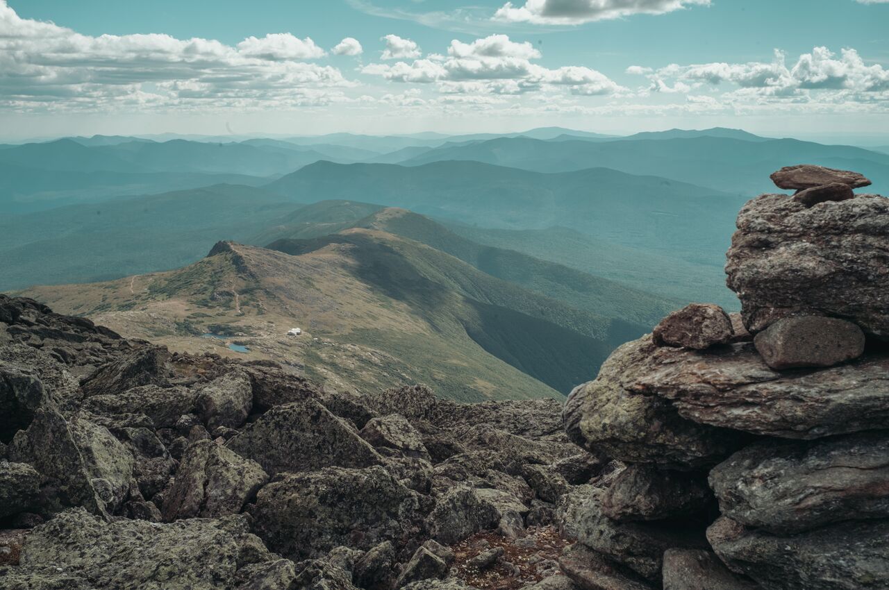
The weather spared us, but the climbing did not. Three four-thousand-footers in one day left their mark. By evening, my hiking shirt had grown salt rings from all the sweating. It was impressive, disgusting, and, with no showers at the huts, a problem for another day.
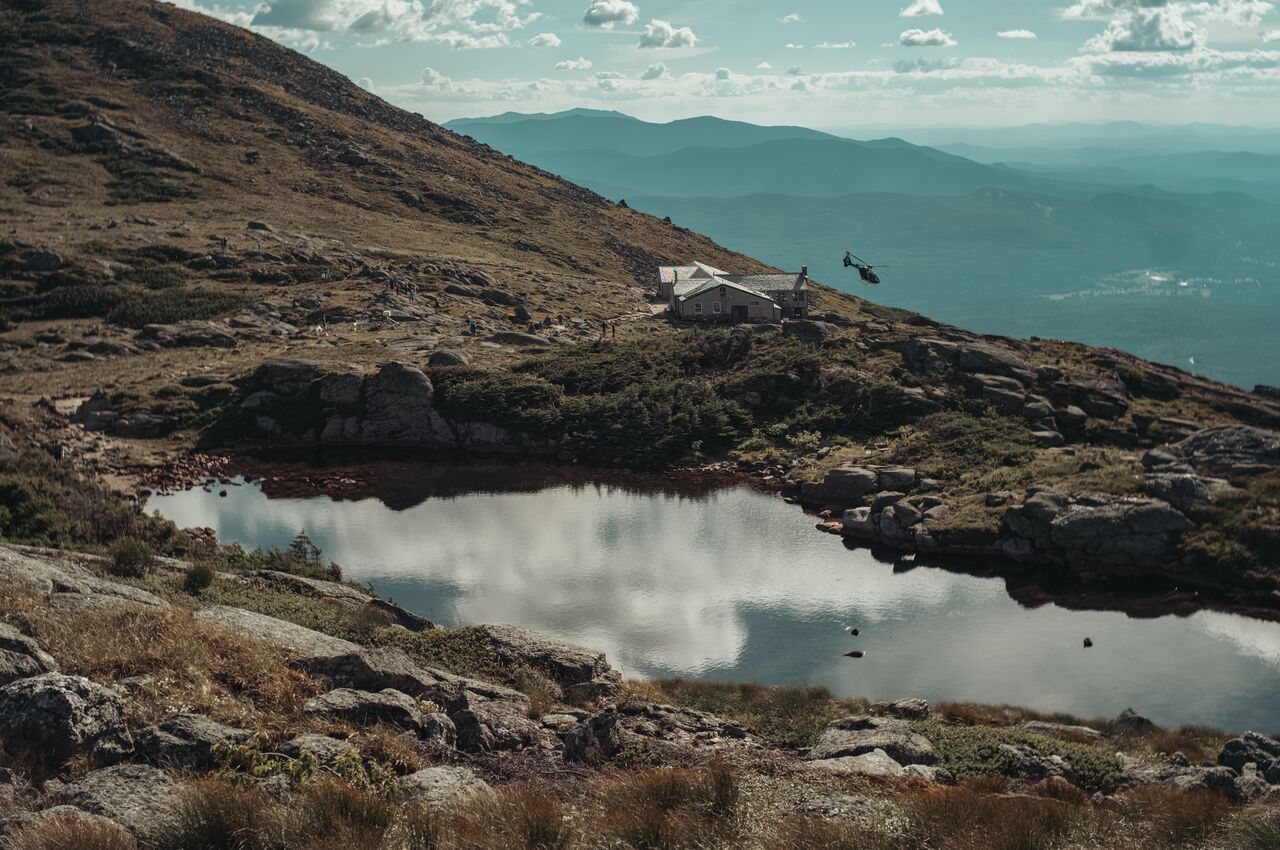
At sunset, the mountains faded layer upon layer, from blue to gray, until the last ridges disappeared. Chris and I stood and watched, tired and happy, forgetting about our knees.

The bunkroom brought me quickly back to earth. The moment I opened the door, a wall of sweaty feet and damp shoes met me, thick enough to taste. The bunks were narrow and packed close together. Sometime in the night Chris gave up entirely and moved out of the room to sleep somewhere he could breathe.
§Day 2: Mizpah Spring Hut → Lakes of the Clouds Hut (via Mount Washington)
- Peaks:
- Mount Pierce (4,310 feet / 1,314 meter)
- Mount Eisenhower (4,780 feet / 1,457 meter)
- Mount Franklin (5,001 feet / 1,524 meter)
- Mount Washington (6,288 feet / 1,917 meter)
- Distance covered: 8.5 miles / 13.6 kilometer
- Ascent: 3,180 feet / 969 meter
- Descent: 2,022 feet / 616 meter
- Moving time: 7 hours 13 minutes
- Download GPS data for day 2
§Day 3: The northern peaks
This was the hardest day of the trip, and the best. We spent about eight hours on the trail, most of it above treeline, hopping from rock to rock. I had to watch every step. Mile after mile, the terrain kept us moving slowly and deliberately.
We went over the top of Mount Clay (5,533 ft), then climbed Mount Jefferson (5,712 ft), and passed Thunderstorm Junction, a huge cairn near Mount Adams where several trails meet.
Somewhere along the ridge I developed a couple of blisters, which I patched before they could take over. The heat asked for the same kind of upkeep: I drank three liters of water and took two electrolyte tablets, and I was still craving salt by dinner, when I dumped extra on my pasta shells.
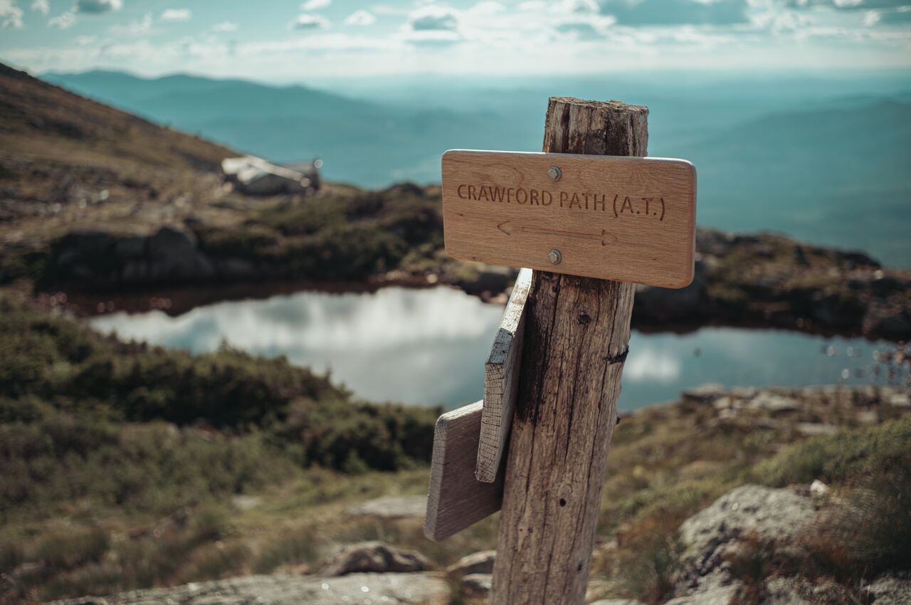
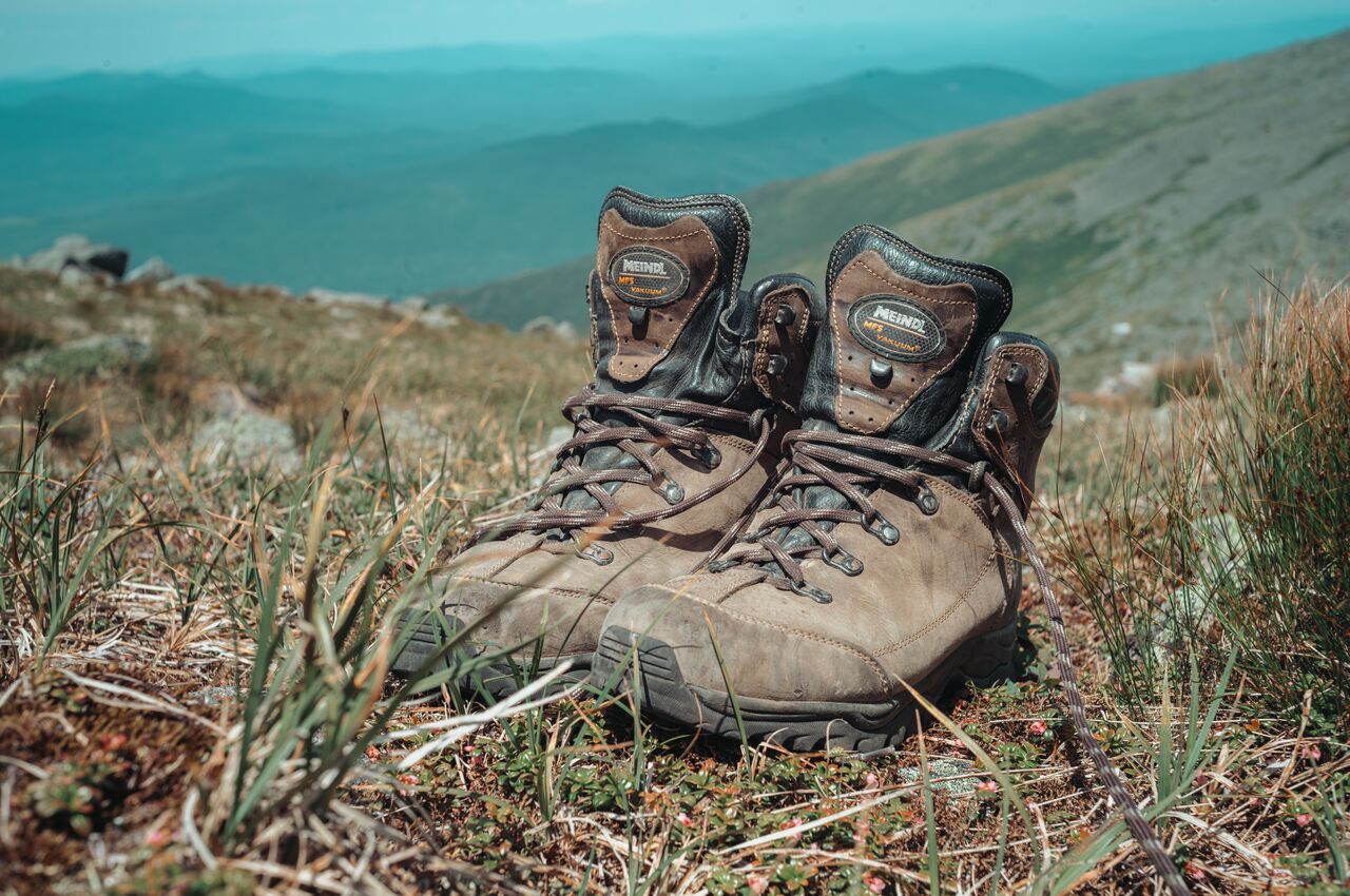
One of my favorite parts of the hike was meeting AT thru-hikers. Much of the ridge follows the Appalachian Trail, and many of them were already months into their journey from Georgia to Maine. They were friendly and much faster than we were. You could often recognize them by their strong legs, and sometimes by their strong smell, though after three days without a shower, I was hardly one to talk.
We reached Madison Spring Hut in the early evening. This time my bunk was at the top of a stack four beds high, which I started calling "the fourth floor." It was close enough to the ceiling that I learned not to sit up too fast. At my age, nature tends to call at least once a night. From the fourth floor, that meant logging extra vertical miles. By now, though, the snoring and thin mattresses barely registered.
§Day 3: Lakes of the Clouds Hut → Madison Spring Hut
- Peaks:
- Mount Clay (5,533 feet / 1,686 meter)
- Mount Jefferson (5,712 feet / 1,741 meter)
- Distance covered: 6.7 miles / 10.8 kilometer
- Ascent: 2,136 feet / 651 meter
- Descent: 2,351 feet / 717 meter
- Moving time: 7 hours 11 minutes
- Download GPS data for day 3
§Day 4: Down to the burger
The last day was a long walk down. We left Madison Spring Hut and followed the Valley Way Trail back into the trees and eventually to the car we had left days earlier.
On the way down, I realized I felt different from how I had at the end of the Pemi Loop. There, every mile had made me more tired and weaker. This time I was more tired but also stronger. Maybe it was the hut meals, the lighter pack, or the daily electrolytes. Whatever the reason, my legs were sore but moving better than they had on the first day.
Our timing was lucky. By evening, after we were safely off the trail, winds had reached gale force and hail was sweeping across the mountains.
We celebrated our escape the only sensible way: with burgers at Black Mountain Burger in Lincoln. Hut food is generous, but after four days it is not this. That burger tasted better than any summit we climbed.
§Day 4: Madison Spring Hut → Appalachia trailhead
- Peaks: None
- Distance covered: 3.6 miles / 5.8 kilometer
- Ascent: 0 feet / 0 meter
- Descent: 3,493 feet / 1,065 meter
- Moving time: 3 hours 39 minutes
- Download GPS data for day 4
§The four-thousand-footers we climbed
New Hampshire hikers chase a famous list of forty-eight peaks over four thousand feet. In the years I have lived in New England, I have climbed quite a few of them.
To make the list, a mountain has to rise at least two hundred feet above the col, the saddle connecting it to its taller neighbor. That rule is why Mount Franklin and Mount Clay, both well over four thousand feet, do not count. They are really shoulders of bigger mountains.
Of the peaks we crossed, Franklin and Clay were also the only two not named for presidents. Benjamin Franklin and Henry Clay never reached the White House, and their mountains never reached the list. The two men who did not make it became the two mountains that did not count.
By the two-hundred-foot rule, we summited four: Pierce, Eisenhower, Washington, and Jefferson. We came up just short of Adams and walked past Monroe and Madison, which means the Presidentials still owe us a return trip.
When I think about the trip, I do not remember the blisters or the bunkrooms first. I remember standing next to Chris at sunset while the ridges faded from blue to gray, one behind another.
My legs are still sore, but I am already wondering where to hike next.
Join 5,000+ readers. I'm the founder of Drupal and co-founder of Acquia. I write about Open Source, AI, and the future of the web, with a focus on building, scaling, and thinking long-term.